Viewing posts tagged gis
I've made a new interactive map while I was playing with the GIS stuff again. This time to visualize the U.S. National Parks, National Monuments, National Recreational Areas, and National Seashores / Lake Shores I've visited over the last eleven years.
While browsing through the documentation of tangoGPS I found the the relief map at maps-for-free.com. The map is free (licenced under the GNU FDL) and generated from the Shuttle Radar Topography Mission (SRTM) data:
Sure, you can chose from numerous implementations if you want to render GPS tracks. But for scalable online maps, nothing I found was good for my purposes. The available on-demand renderers are too slow and need too much memory processing a data set with aproximately 100,000 fixes from all over California, Nevada, Arizona and Utah. Thus, I had to render the tiles offline. Basically, two free solutions for that exist: Mapnik and Osmarender.
I'm addicted to geo-location and geo-tagging now. I cannot stop playing with it. I've geo-tagged my vacation photos from January now and built a small JavaScript application based on the incredible OpenLayers framework to show where I took photos on an OpenStreetMap map or on top of Landsat7 satellite images:
The bad: discovering after months that the clock of the camera was set to CEST instead of UTC
The good: exiftool and some few lines of perl to the rescue!
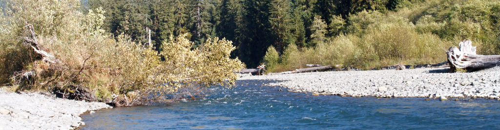
I've finally visualized the GPS recording of the RV Trip with my parents last Winter. Unfortunately, LJ does not allow me to embed the interactive map, thus you have to click on this static one to play with it: