
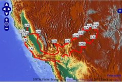
While browsing through the documentation of tangoGPS I found the the relief map at maps-for-free.com. The map is free (licenced under the GNU FDL) and generated from the Shuttle Radar Topography Mission (SRTM) data:
The OpenLayers integration was a bit more tricky than expected, as Hans' tile numbering is a bit different from the OSM scheme. But thanks to the example at Peter's Maps I was able to integrate it.
Comments
t-h-squirrel.livejournal.com 17 years, 7 months ago
Very cool. Nice pictures. :)
Link | ReplyNew Comment