Viewing posts tagged gps
Google has a small tool for GPS tracking on Android phones. It shows you some stats of your hike and records a GPS track of it. Unfortunately, what it writes to the SD card (basically) is this:
I've been observing problems mp3 tags not being displayed on some devices, while others display the information just fine. By chance, I found out why.
While browsing through the documentation of tangoGPS I found the the relief map at maps-for-free.com. The map is free (licenced under the GNU FDL) and generated from the Shuttle Radar Topography Mission (SRTM) data:
Sure, you can chose from numerous implementations if you want to render GPS tracks. But for scalable online maps, nothing I found was good for my purposes. The available on-demand renderers are too slow and need too much memory processing a data set with aproximately 100,000 fixes from all over California, Nevada, Arizona and Utah. Thus, I had to render the tiles offline. Basically, two free solutions for that exist: Mapnik and Osmarender.
Handling three weeks of GPS data collected on an RV trip through the American West is quite a challenge. Roughly 930,000 GPS positions are far too much to process directly. There are lots of wrong fixes that need to be removed, lots of identical or nearly identical positions, and a huge amount of fixes located on a straight line. Feeding the data unfiltered to Google Earth either results in GE drawing nonsense, locking up or crashing. The gpsbabel filters don't help, either. Thus, I wrote my own filter. It performs several steps:
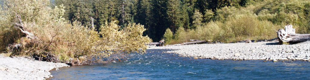
During the RV trip this year I found out that while the Navilock 320U gives excellent results, the lack of any logging features requires to have the laptop running all the time. As my mother likes studying maps, I strapped the PowerBook to the folding table of the third passenger seat and had gpsdrive running on it. But this only works if you have enough space in the car. Also, the plug of the power converter fell out of the socket at Grand Canyon without us noticing. This resulted in a gap of 80 miles in the recording after the battery ran out.
It is quite interesting to compare the GPS logs of 2006 and 2008:
I'm addicted to geo-location and geo-tagging now. I cannot stop playing with it. I've geo-tagged my vacation photos from January now and built a small JavaScript application based on the incredible OpenLayers framework to show where I took photos on an OpenStreetMap map or on top of Landsat7 satellite images: